
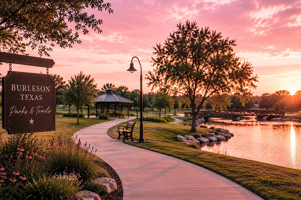
Parks are the thing buyers ask about last and care about most. Nobody opens with “how many acres of parkland per thousand residents does this city carry?” — but six months after closing, whether there is a trail you can walk from your neighborhood turns out to matter enormously. Burleson is, by the numbers, unusually well supplied. Here is all of it.
| Measure | Burleson |
|---|---|
| Total parks and open space (developed + undeveloped) | ~777 acres |
| Maintained parkland, per the city’s parks page | 348 acres |
| Acres of parkland per 1,000 residents | 14.1 |
| National benchmark (NRPA) | 10.2 |
| Surplus against that benchmark | 203.7 acres |
| Developed trail miles | 36.49 |
| Trail miles needed to hit the national standard | 16.6 more |
| Spent on park projects since 2019 | over $30 million |
From Rooted in Burleson, the city’s Parks, Recreation, Trails and Open Space Master Plan, presented to council in 2025. The 777-acre figure covers developed and undeveloped land across five park classifications; the 348-acre figure on the city’s parks page describes maintained parkland. They are counting different things — do not treat them as a contradiction.
Two numbers there deserve a second look. Burleson carries 14.1 acres of parkland per 1,000 residents against a national benchmark of 10.2 — a real surplus, and a genuinely good answer to “is this place going to feel crowded as it grows.”
But trails are the gap. The city runs one trail mile per 1,952 residents, which is below the national standard, and the master plan says it needs 16.6 more developed miles to close it. That is the honest weak spot, and the plan knows it — the top three priorities in a public survey of more than a thousand residents were trails, open-space preservation and maintaining what already exists.
The plan’s stated goal: 75% of residents within a ten-minute walk of a park by 2040, against a projected city population of 125,527 by 2053.
The prettiest one, and the one I take people to. An 8-acre lake with a 0.6-mile loop around it, a nature trail, picnic area and fishing. A separate 0.8-mile connector runs from the Hidden Creek Parkway bridge over to the Tinker Trail.
It is stocked with channel catfish and perch, and Texas Parks and Wildlife stocks it with rainbow trout in the winter — Burleson Parks has posted about a thousand-fish drop. Anyone 17 or older needs a Texas fishing license.
One correction worth making because it circulates: Bailey Lake is not part of TPWD’s Neighborhood Fishin’ program. That program's DFW waters are in Fort Worth, Hurst, Duncanville, Mesquite and Denton. Bailey Lake gets winter trout stockings, which is a different program.
The city has recently put money into parking and dredging here.
The backbone. Concrete, ten feet wide, with trailheads at Rigney Way and Scott Street in the Old Town district and at Oak Valley Park North. It provides east-west pedestrian access across the city and — this is the part that matters — it goes under I-35. In a town split by an interstate, a grade-separated crossing is worth more than its mileage suggests. It crosses a nature habitat, and the Rio Brazos Master Naturalists run guided hikes on it. It was funded with a U.S. Department of Transportation grant.
Dirt singletrack at Chisenhall Fields, city-managed, with two trailheads and about eleven named segments across six creek crossings — Goatman’s Island, North Side, Field Loop, Southtown, Keep on Trucking, West Loop, Cactus Jack, Wrecked. The mileage comes from Trailforks, which is rider-maintained rather than official, so treat it as approximate. There is also a mountain bike area mapped at Wakefield Heights Park.
Named in the master plan without published mileage: Bailey Lake Trail, the Chisenhall Hike and Bike Trail, the Oak Valley South extension, the Scott Street trailhead, and Village Creek Trail, which is in design.
Two practical notes. The trails are largely not lit. The master plan lists trail lighting and trailheads with shade and water stations as things to add, which tells you they are not there yet. And the system does not currently connect to Fort Worth’s Trinity Trails or any regional network — the plan lists connections to surrounding cities as a goal, not an accomplishment. If somebody tells you that you can ride from Burleson to downtown Fort Worth on trail, they are describing a future, not a present.
550 NW Summercrest Blvd, next to Bartlett Park. Opened in 2010, somewhere between 65,000 and 73,000 square feet depending on which source you trust. Inside:
The project was built in partnership with the school district, which added competitive swim lanes and a swim-team room. The city does not publish membership rates online — call 817-426-9104.
City-owned, at 555 E. Hidden Creek Parkway. Eighteen holes, par 72, 7,024 yards, opened in 1997 to a Steve Plummer design and redesigned in 2012 by Colligan Golf Design. Pro shop, practice facilities, bar and grill. The city cites the Fort Worth Business Press naming it the toughest public course in DFW two years running and the Dallas Business Journal putting it in the state’s top five public courses, though neither citation carries a year.
Recent work: bunkers, a clubhouse renovation, the driving range and new carts.
The named inventory in the master plan and on the city’s parks page runs to roughly two dozen: Chisenhall Fields, Bailey Lake, Hidden Creek Golf Course, Hidden Creek Sports Complex, Bartlett Park, Warren Park, Centennial Park, Cedar Ridge, Cindy Park, Clark Park, Claudia’s, Elk Ridge, Wakefield Park, Meadowcrest Park, Willow Creek Park, Oak Valley Park North and South, Prairie Timbers, Park Annex, Veterans Memorial, Shannon Creek Nature Preserve, Mistletoe Hill Park, Russell Farm Art Center, Mayor Vera Calvin Plaza and the Burleson Senior Center.
Mistletoe Hill Park is the one I can give you full detail on: 6 acres, including a 3-acre open play field, plus exercise stations, a pavilion, picnic area, playground and walking trail. Bartlett Park sits next to the BRiCk with trails, a playground and parking. Oak Valley Park South, Prairie Timber Estates East and West and Villages of Wakefield Park are currently listed by the city as undeveloped — land banked for later.
Playgrounds have been renovated recently at Cedar Ridge, Centennial, Cindy Park, Clark Park, Claudia’s, Elk Ridge, Warren Park, Wakefield and Meadowcrest. Centennial Park won a GameTime matching grant worth up to $250,000 and was slated to become a National Demonstration Site.
I could not find a published count of how many parks Burleson has, and I am not going to invent one. The city has not put that number out, and the master plan’s park-by-park inventory table is not available online. Parks and Recreation will have it: 817-426-9291.
At Hulen Street and Alsbury Boulevard, on a 30-acre tract the city acquired in 2022. The name came out of a community survey that drew 320 responses and was approved by council on October 20, chosen to honor Burleson’s history and people.
| Item | Detail |
|---|---|
| Phase I | Three softball fields, parking, trail connections, site development |
| Future phases | More athletic fields, sport courts, nature-themed play areas |
| Construction | Anticipated to begin in 2026 |
| Target opening | Late summer 2027 |
| State grant | $608,966 from Texas Parks and Wildlife, announced January 29, 2026 |
The TPWD grant is specifically for inclusive and nature-based recreation: a nature-themed playground for all ages and abilities, shade structures, sidewalks, a sensory path and garden, and an accessible overlook. The design process ran through 2024 with an 870-response community survey and included proposals for softball fields that convert to an event lawn, a dog park, a bandstand, a community pavilion and public art.
You may see a “55-acre park opening spring 2026” figure circulating on other real estate blogs. The city’s own project page says 30 acres acquired in 2022, and the Cleburne Times-Review reports construction starting in 2026 for a late-summer 2027 opening. I would go with the city.
This is the part that will change Burleson’s parks math more than anything the city does itself, and it is worth understanding how it works. Burleson’s code requires developers to dedicate one acre of parkland per 95 single-family homes (one per 109 multifamily units), with a three-acre minimum park size, or pay fees in lieu. Two enormous developments are now running that formula.
621 acres at Chisholm Trail Parkway and FM 1902, about $1 billion, roughly 4,000 residences and a million square feet of commercial at full build-out. Approved by the city in October 2025. It includes 90 acres of parks and open space, five miles of trails, a restored tallgrass prairie landscape, a town center and a future elementary school. Phase 1 alone is 200 acres, 645 residences, 45 acres of parks and the school.
A mixed-use community the city projects at about 3,066 residential units at full build-out and roughly $1.15 billion in taxable value. The city describes over 100 acres of dedicated parkland including a community park, pocket parks, trail parks, fishing ponds and over ten miles of interconnected trail, plus an equestrian center and horseback riding trails.
Careful with one number here. Chisholm Summit’s widely quoted “106 acres” is the Hooper Business Park — a professional office and medical district. It is not parkland. The parkland figure is the separate “over 100 acres.”
Put together, those two projects propose more than 190 acres of new parkland and fifteen miles of new trail — roughly a quarter again on top of the city’s entire current inventory. If Burleson closes its 16.6-mile trail gap this decade, that is largely how.
Maintenance and stewardship awards are the boring ones and the ones that actually predict what a park will look like in ten years.
If parks matter to you, ask two questions about any specific house: can you walk to one, and is the nearest one developed or land-banked. Burleson has several parcels on its inventory that are parks on paper and pasture in practice, and a listing agent will happily tell you there is a park two streets over without mentioning which kind it is.
And if you are buying in Tallgrass or Chisholm Summit, understand that the amenity you are looking at on a rendering is dedicated in phases. Ask the builder which phase your section falls in and what is actually funded, not what is drawn.
Burleson's 2025 parks master plan counts approximately 777 acres of parks and open space, both developed and undeveloped, and 36.49 miles of developed trail. The city's own parks page lists 348 acres of maintained parkland. Burleson provides 14.1 acres of parkland per 1,000 residents against a national benchmark of 10.2, but its trail mileage is below standard, with the master plan calling for 16.6 additional developed trail miles.
Yes. Bailey Lake is an 8-acre city lake stocked with channel catfish and perch, and Texas Parks and Wildlife stocks it with rainbow trout in winter. Anglers 17 and older need a Texas fishing license. The lake has a 0.6-mile loop trail, a nature trail and a picnic area. Bailey Lake is not part of TPWD's Neighborhood Fishin' program, which stocks different DFW waters.
Oak Valley Trail is a 2.4-mile concrete trail, ten feet wide, with trailheads at Rigney Way and Scott Street in the Old Town district and at Oak Valley Park North. It provides east-west pedestrian access across the city and passes under Interstate 35. It was funded with a U.S. Department of Transportation grant, and the Rio Brazos Master Naturalists run guided nature hikes on it.
Burleson Legacy Park, at Hulen Street and Alsbury Boulevard on a 30-acre tract the city acquired in 2022, is anticipated to begin construction in 2026 with a target opening of late summer 2027. Phase I includes three softball fields, parking and trail connections. Texas Parks and Wildlife awarded the city $608,966 in January 2026 toward inclusive and nature-based recreation there, including a sensory path and garden and an accessible overlook.
The BRiCk is Burleson's recreation center at 550 NW Summercrest Boulevard, opened in 2010. It includes an indoor aquatic complex with water slides, vortex pools and a current river, an outdoor pool, a twin gymnasium with a suspended walking track, a 10,000-square-foot fitness center, a rock wall, pickleball courts and rentable meeting space. Membership rates are not published online; call 817-426-9104.
Want to know which park your future street actually walks to? Send me an address or a neighborhood and I will tell you what is nearby, what is developed, and what is still pasture with a sign on it.
Ask about a neighborhoodFigures current as of August 2026. Populations, prices, city projects and business openings all move — if you are relying on a number here, ask me and I will check it.

REALTOR® · BHHS PenFed Realty Texas
I help buyers and sellers across the Dallas–Fort Worth Metroplex — Fort Worth, Burleson, Crowley and Keller, and the surrounding Dallas area. I write these because they are the questions I answer on the phone every week, and most people never get a straight answer to them. If you have one I have not covered, ask me — I will probably turn it into the next post.